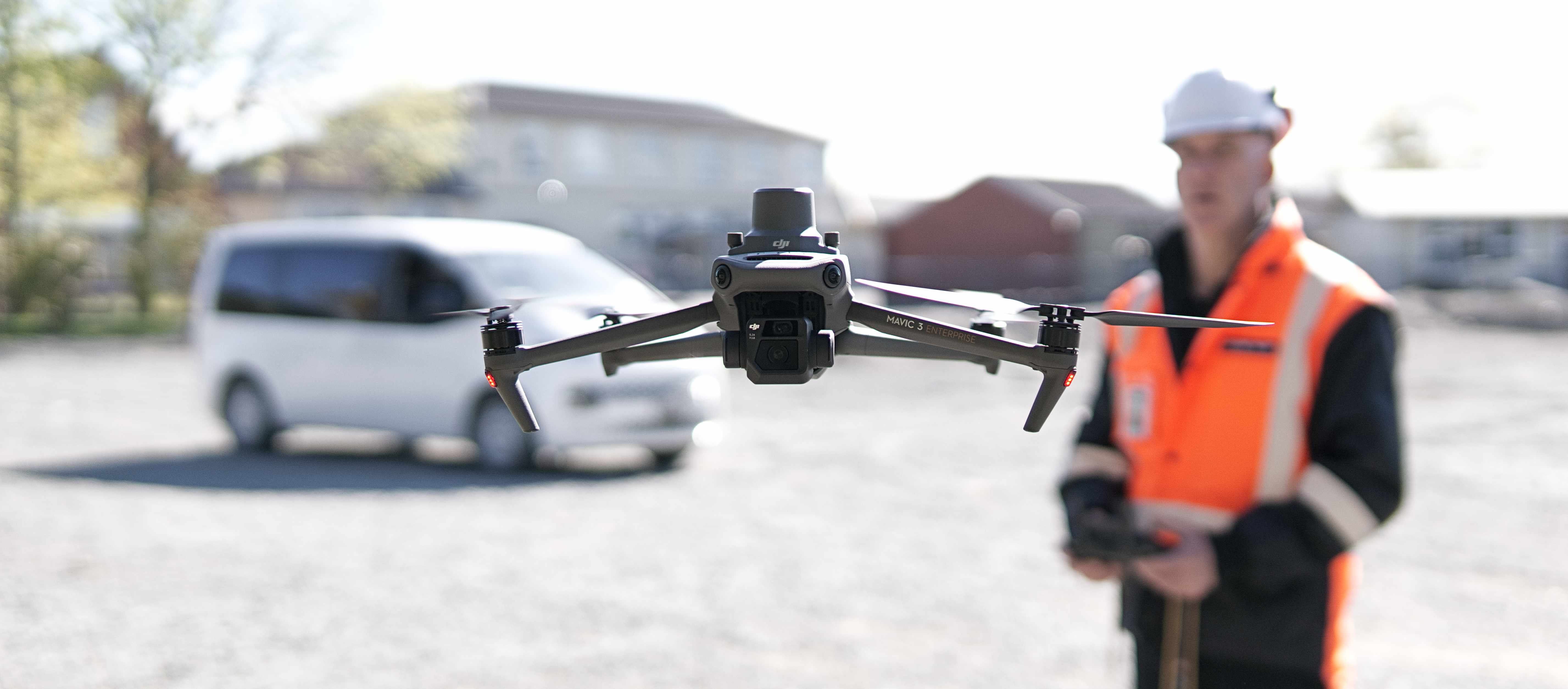
01 / Data service
Insured Asset Evidence Capture
Colour, thermal and spatial evidence for insurance records and condition assessment.
Explore service ↗Geospatial data services
Service catalogue
HiAbove offers a range of services to support improved safety planning, financial decision-making and operational efficiency.
01 / Data service
Colour, thermal and spatial evidence for insurance records and condition assessment.
Explore service ↗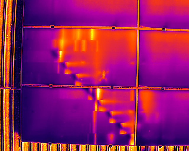
02 / Data service
Thermal and colour imagery for solar array health check, maintenance planning and electrical review.
Explore service ↗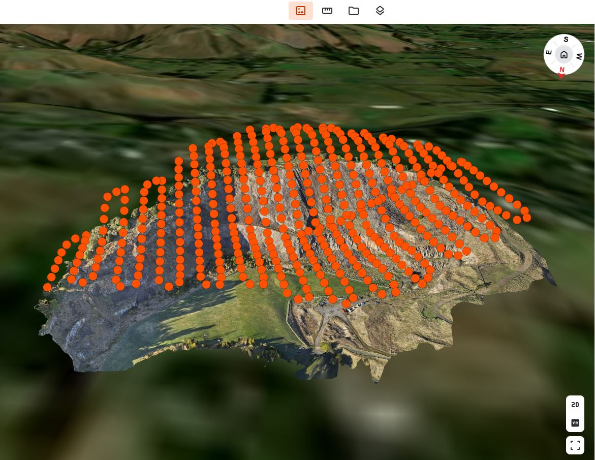
03 / Data service
Repeatable aerial and ground-level records that make site and asset changes easy to understand over time.
Explore service ↗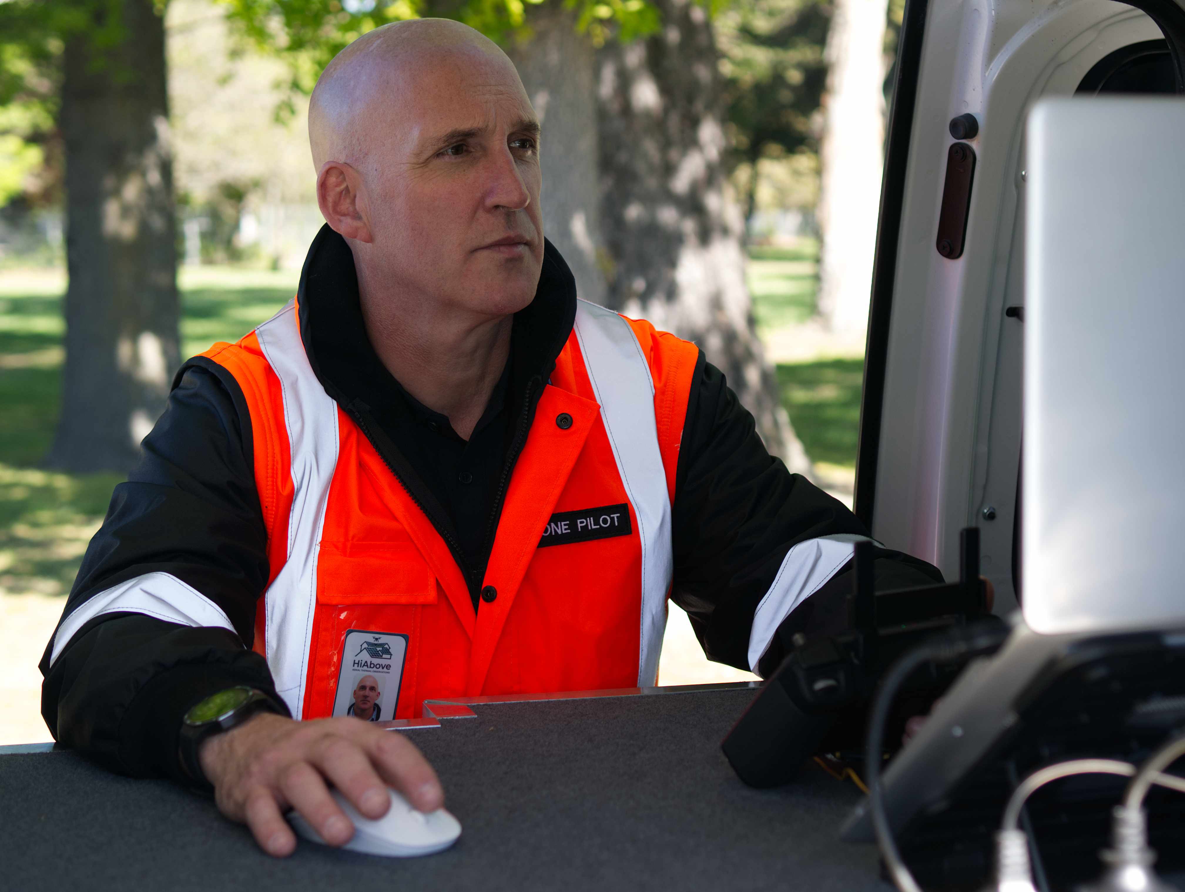
04 / Data service
Room-by-room visual records for rental portfolios, facilities management and handover audits.
Explore service ↗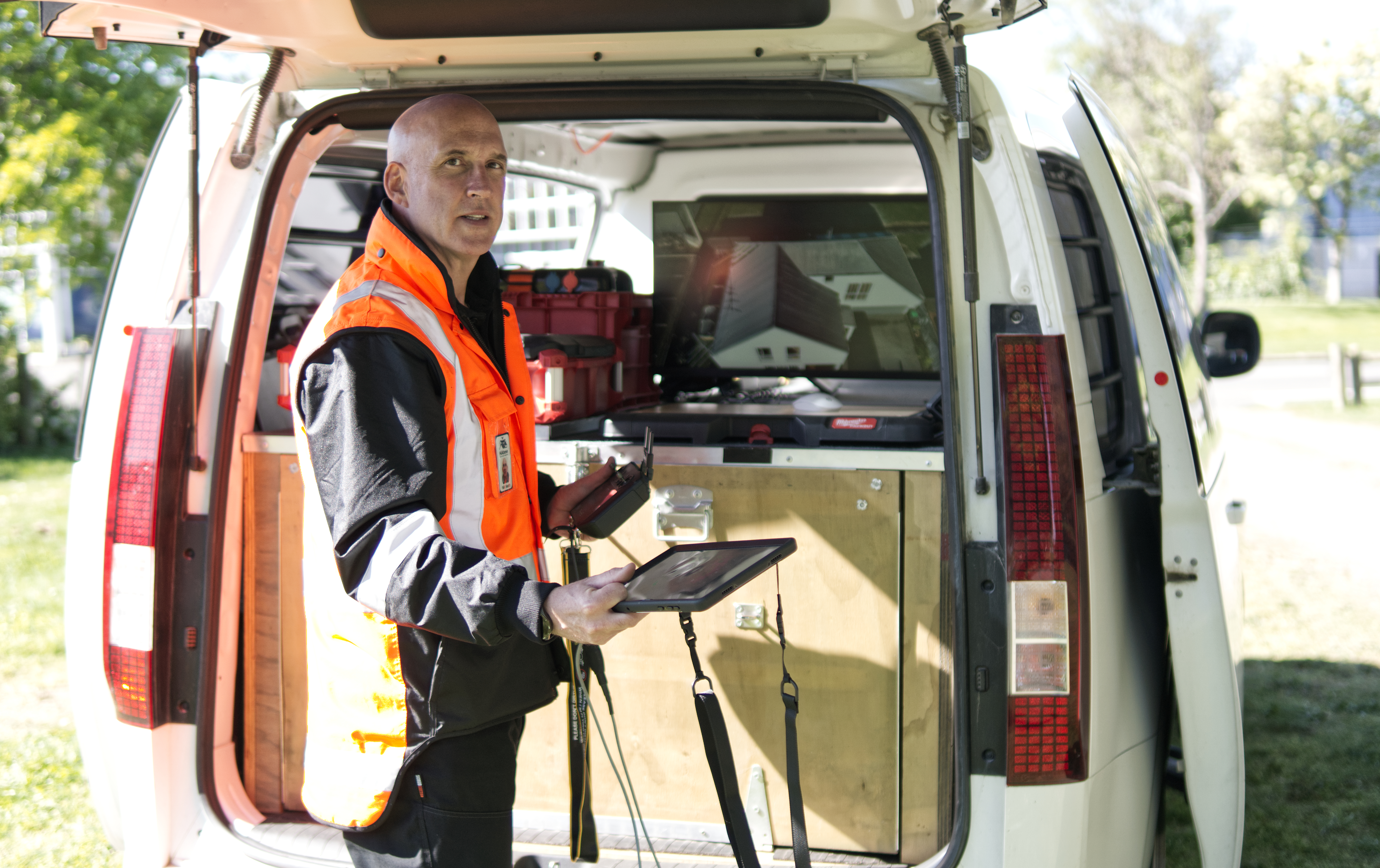
05 / Data service
Aerial 3D modelling and ground-level capture for work site safety and operational planning, access reviews and safety audits.
Explore service ↗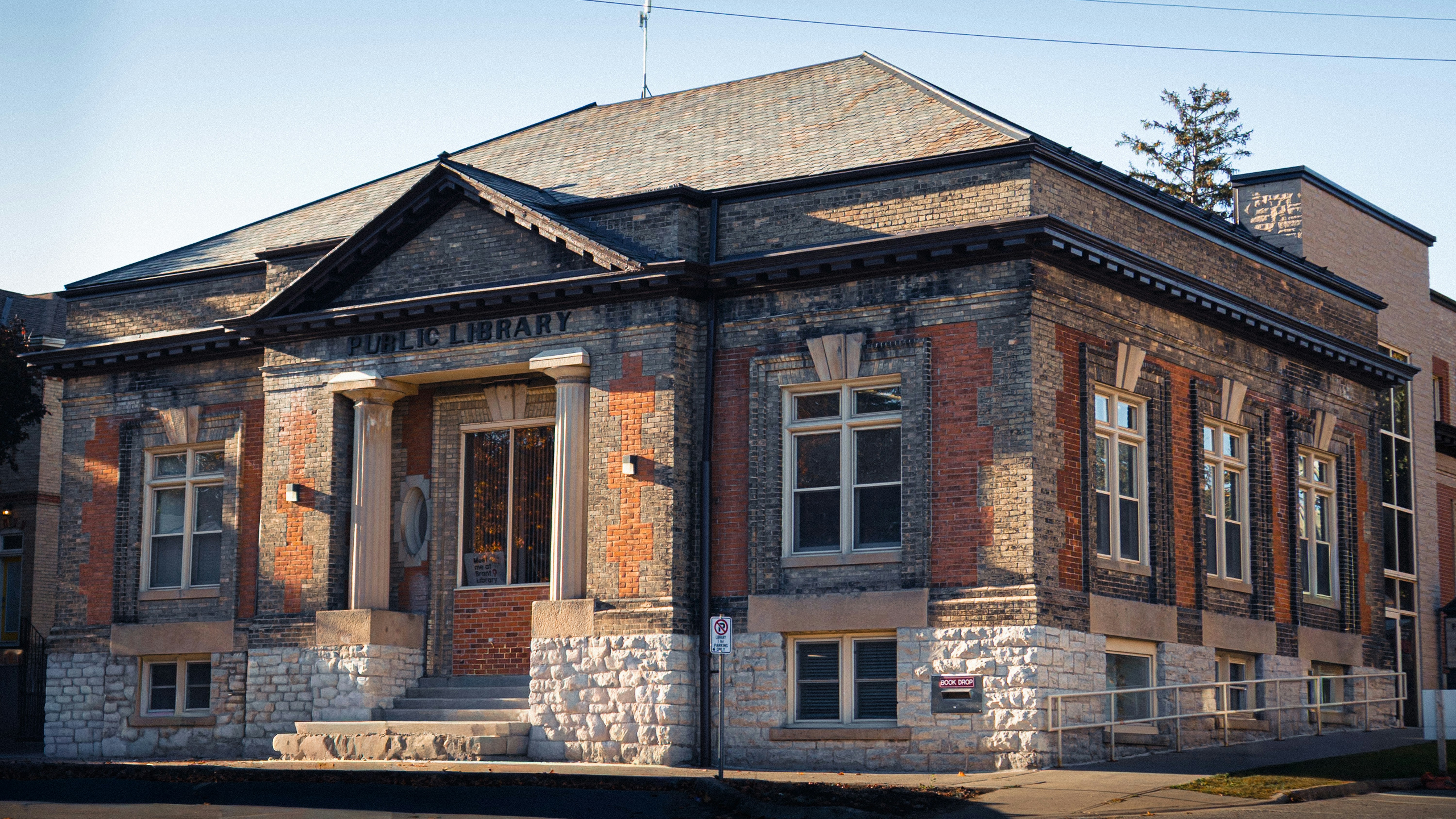
06 / Data service
Detailed exterior and interior video capture of heritage buildings, structures and historic sites to preserve a visual record for future generations.
Explore service ↗Sister company partnership
HiAbove specialises in acquiring current, traceable asset data. Stratify brings that evidence into advanced geospatial asset-management workflows, where it can be connected with asset registers, historical records and ground-penetrating radar datasets.
The combined service can support a more complete view of above-ground condition, interior assets, site change and subsurface context. Each project is scoped around the required decisions, permissions, accuracy and specialist interpretation.
Discuss an integrated project →Clear scope
HiAbove specialises in capturing and organising aerial and ground-level data.
HiAbove can coordinate professional partner review for:
Start with a conversation